What is OpalAi?
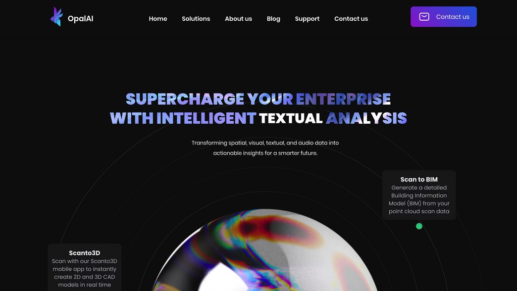
OpalAi represents the next generation of AI-enhanced spatial computing technology, enabling users to digitize and analyze physical environments with unprecedented precision. The innovative ScanTo3D technology simplifies complex 3D modeling and BIM creation through intuitive walk-through scanning, requiring only LiDAR-equipped mobile devices. This intelligent platform supports comprehensive model manipulation, precise measurements, and versatile file exports, making it an essential tool for modern real estate, construction, insurance, and urban development professionals.
Key Features
AI-Powered 3D Scanning
Delivers sub-inch accuracy (within 1 inch per 30 feet) through advanced LiDAR integration. Compatible with modern mobile devices, seamlessly handling spaces from single rooms to entire complexes.
Intelligent Editing Suite
Features AI-assisted texture mapping, spatial modification tools, and precision measurement capabilities within an intuitive interface.
Enterprise-Grade Export Options
Supports industry-standard file formats for seamless workflow integration and cross-platform compatibility.
AI-Driven BIM Generation
Leverages machine learning to automate Building Information Modeling, significantly reducing manual processing time.
Enterprise Scalability
Optimized for projects of any scale, from individual spaces to complex architectural structures.
Use Cases
Real Estate Innovation: Create immersive digital twins for virtual property tours and detailed asset analysis.
Construction Intelligence: Streamline project planning with rapid site digitization and automated BIM generation.
Smart Insurance Solutions: Transform property assessment with AI-powered inspection and risk analysis tools.
Digital Urban Planning: Enable data-driven city development with precise spatial modeling and analysis.
Emergency Response Technology: Facilitate rapid incident assessment and response planning through detailed 3D visualization.

Please login to post a comment
Login